Mapping our History – Literally

Mapping our History

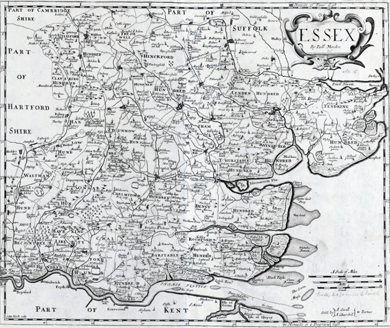
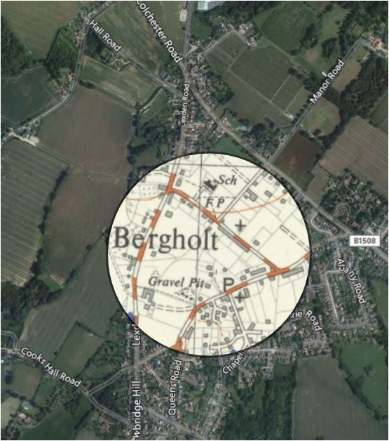
Peter Noakes, a local historian & Chairman of the Local History Group, shares his first thoughts on using a new mapping tool offered by the National Library of Scotland (yes you read that right, Scotland), to explore West Bergholt.  Also, a quick reminder about a talk Peter will give on 18th May.

Peter’s Thoughts

First of all, thanks to Tom Stevenson for finding this very useful website.  You can use it to access Continue reading “Mapping our History – Literally”

County Maps of Essex – 1576 – 1805

Charlie Haylock

county maps of essexCounty Maps of Essex – 1576 – 1805

County Maps of Essex was the topic of discussion at the Local History Group’s last meeting on 12th September.  An audience of 40 members and visitors heard speaker Peter Walker introduce his specialist subject.  It soon became clear that our County was one of the most mapped counties in England. Peter started with one produced by Continue reading “County Maps of Essex – 1576 – 1805”

Skip to content