Our Village – Past & Present
This article was first presented to the village at the 2018 Annual parish Meeting by Peter Noakes on behalf of the Local History Group.
Population Growth
| 1066 | Total of free tenants, unfree tenants and slaves was | 27 |
| 1086 | In this year the total had probably increased to | 32 |
| 1377 | The number of inhabitants paying the poll tax was | 105 |
| 1671 | In this year the number of houses in WB parish was | 73 |
| 1723 | In this year the number of families was | 60 – 70 |
| 1766 | In this year it was reported that the number of houses was | 50 |
| 1801 | The population of the village had increased to | 552 |
| 1851 | After 50 years the population had increased by a 300 to | 852 |
| 1881 | Whilst 30 years later the population had nearly doubled to | 1,067 |
| 1901 | The population over this period stabilised and was | 1,050 |
| 1921 | After the First World War there was a slight increase to | 1,143 |
| 1951 | The population crept up slowly in the early 20th century to reach | 1,272 |
| 1991 | In the first 4 decades of the Queen’s reign the population tripled to | 3,027 |
| 2001 | A decade later there was a slight increase to | 3,164 |
| 2011 | The population increased during this decade to | 3,234 |
| 2017 | The Parish Council suggests that the total may be of the order of | 3,500 |
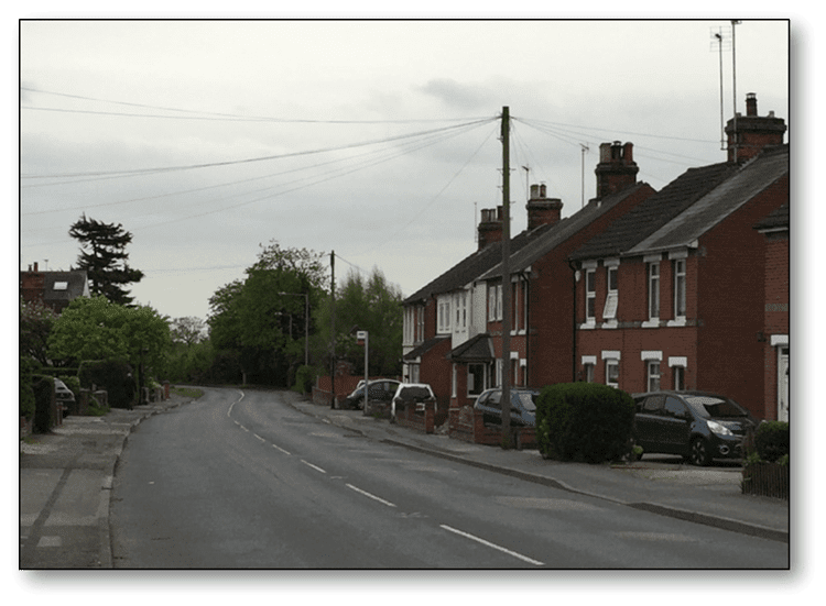
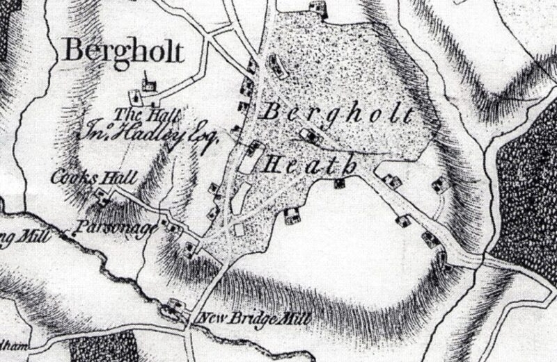
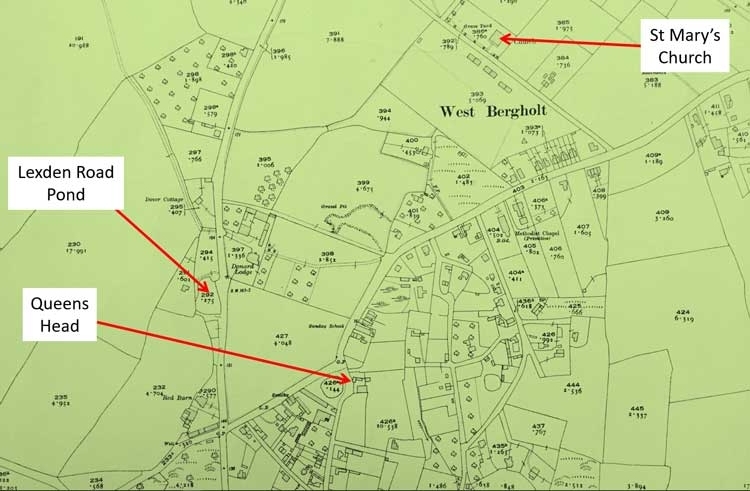
The Physical Development of West Bergholt
1780
1805
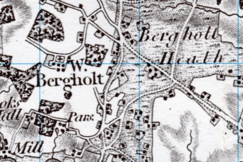
West Bergholt in 1805 extracted with permission from Cassini Historical Map Old Series Sheet 168 Colchester
1898
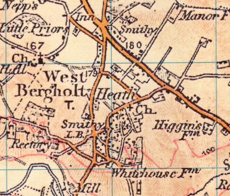
West Bergholt in 1898 extracted with permission from Cassini Historical Map Old Series Sheet 168 Colchester
1923
2015
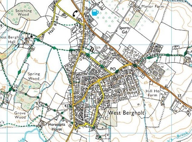
West Bergholt in 2015 reproduced with permission of Ordnance Survey.
Significant Contributors to Documenting and Presenting the History of West Bergholt
Barbara Skudder
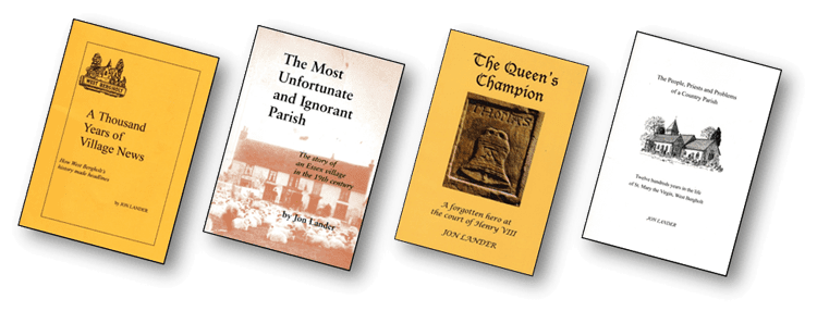
Barbara Skudder was very active in researching the history of West Bergholt through the 1970s & 80s into the 90s before she moved to Somerset. David Fulford, a senior teacher at Heathlands School worked with Barbara certainly on the walks. She contributed to the production of the following publications which are still available:

Jon Lander
Jon Lander is a former Parliamentary reporter and lived in West Bergholt for a number of years before moving to Bures. Barbara Skudder introduced him to local history research and he has published a number of publications which record the history of West Bergholt:
West Bergholt – Bergholt Sackville
The Domesday Book
Called ‘Domesday’ because of the association with the Day of Judgement – that terrible verdict against which there was no appeal. It is the earliest public record and is a detailed statement of the lands held by the King and his tenants and of the resources of the land – the woodland, mills etc.
West Bergholt appears in the Domesday Survey as ‘BERCOLT’ or ‘BERCOLTA’ and 4 entries give details of the previous Anglo-Saxon holders of the land, the types of people working the land and how the land was used. The entries show the changes that had occurred in the years between 1066 and 1086.
The manor of ‘Bercolts’ was held in 1086 by Roger de Poitou, the grandson of Richard 1 of Normandy. By 1100 Robert, from a village called SACKVILE in Normandy, was a monk in St John’s Abbey. He married and had two sons one of whom, Jordan, acquired the manor. From this time until teh md 16th century, the manor was held by the Sackville family and the village itself took their name.
Cook’s Hall
The earlier names were BEAUMONDS, from John de Beaumond who rented the lands in 1272, and COOKS, from Adam Cook who held lands in the 14th Century. NETHERHALL seems to come about because it was in the lower part of the parish. It has been suggested that Cooks Hall is an example of a manor which the owner designated himself Lord of the Manor because of his wealth, usually in association with the wool trade – in fact ‘the Manor of Cookes’ was mentioned as such in 1445.
Living Memory
The Times…
Queen Victoria was on the throne, Kipling was in full song and, in the Sudan, Kitchener was avenging the death of General Gordon. The people, as a whole, were contented, even though wages were low and amusements few and far between. It was an orderly and comparatively peaceful existence which had changed little for many hundreds of years. Each person occupied a clearly defined place in the social order and knew exactly where he stood.
West Bergholt…
… was still isolated enough for much of the old rural culture to survive, although the enclosure of the Heath twenty years earlier had altered the landscape and some intermittent building had taken place. The population was just over 1,000 and the greater proportion of men were employed on the land. Sixteen farms were scattered around the parish, ranging in size from West Bergholt Hall farm at 291 acres to Rookery Farm at 28½ acres – some employing up to 23 men, others supporting the tenant and his family. Many agricultural labourers went from farm to farm as and when work was available.
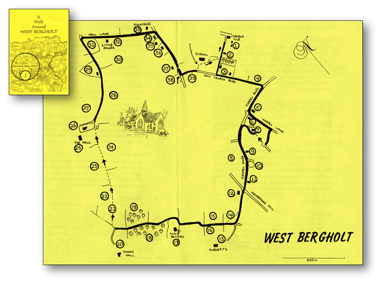
Walks Around West Bergholt
First produced in 1986 by B Skudder and D Fulford, reprinted in 2002, revised and reprinted in 2012.
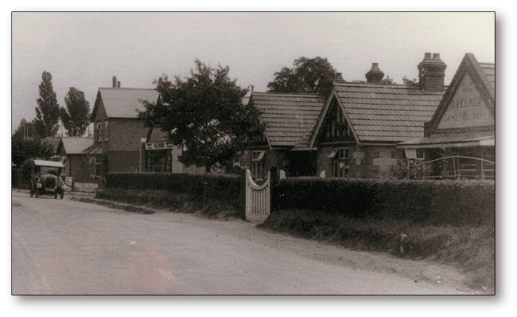
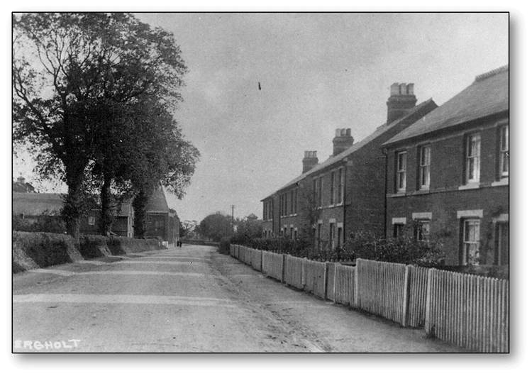
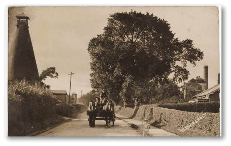
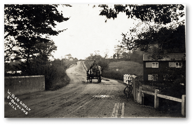
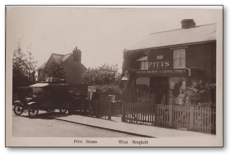
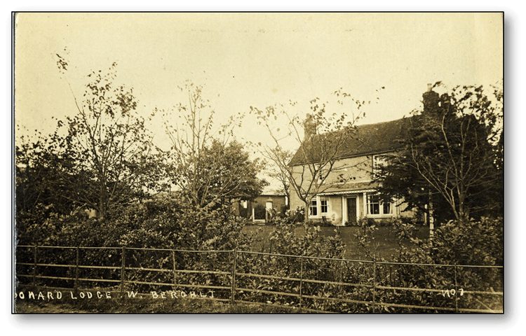
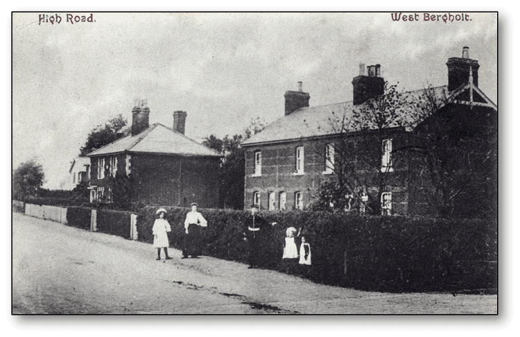
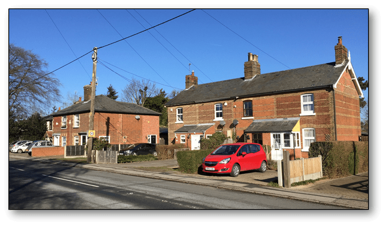
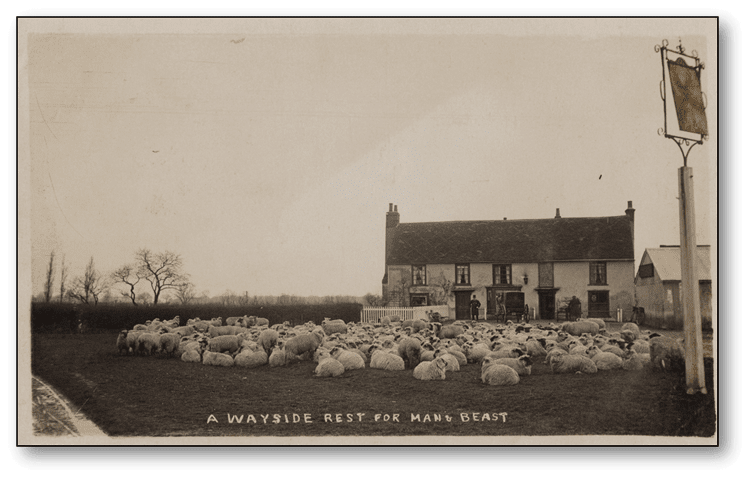
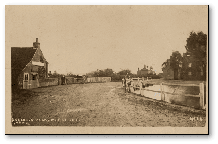
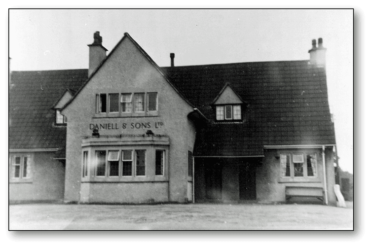
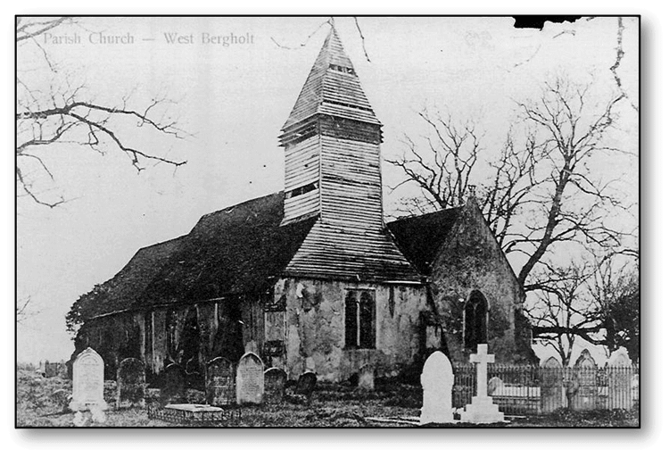
Picture Archive
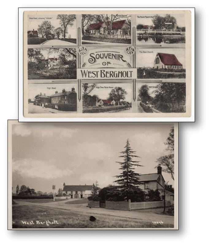
We have been donated a large collection of late 19th and early 20th Century postcards of West Bergholt which have been added to those we already have. In addition we have been donated photographs taken by former Parish Councillor and WBLHG member Bob Gooden.
We are gradually scanning these so we can eventually provide an online archive of pictures. Members are identifying the location of these pictures. If you wish to donate any old postcards or pictures of the village please contact the secretary Gill Poole.
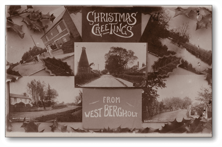
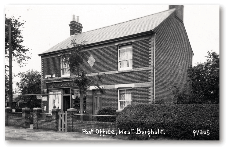
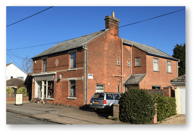
Christmas Greetings Posted in West Bergholt on the 24 December 1909 to Small Bridge Hall, Bures St Mary. Maybe it was posted here at this “Old Post Office” when it was in Colchester Road run by the Claydon Family: