


 County Maps of Essex – 1576 – 1805
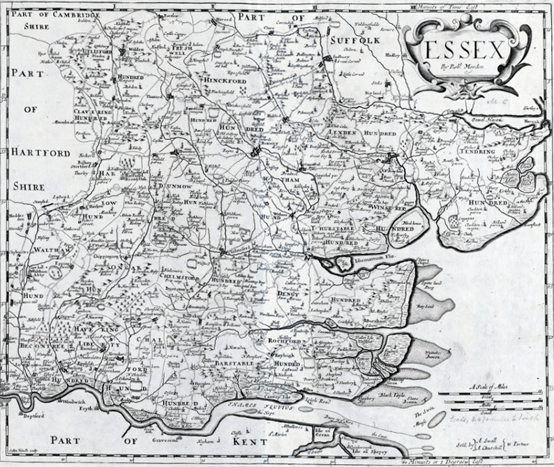
County Maps of Essex was the topic of discussion at the Local History Group’s last meeting on 12th September. An audience of 40 members and visitors heard speaker Peter Walker introduce his specialist subject. It soon became clear that our County was one of the most mapped counties in England. Peter started with one produced by Continue reading “County Maps of Essex – 1576 – 1805”